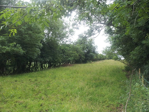
The best place to start detailing the vision for a network of Northern Ireland Greenways is with a town already benefiting from a traffic-free cycling and walking path, the 7 mile Comber Greenway. This popular route traces the old Belfast and County Down line with minor diversions to account for interim development. The Comber Greenway is heavily used for walking, leisure cycling and commuting, and includes a number of nodes such as the Billy Neill Soccer Centre of Excellence, the retail and business park at Dundonald, and a direct link into the heart of Belfast.
Extending Comber walking and cycling paths
Comber was a hub for 3 railway lines, linking Belfast to the West, Newtownards to the North, and the County Down towns of Ballygowan, Saintfield, Downpatrick and Newcastle, with branch lines to Ballynahinch and Ardglass. The proposed route for the Comber to Ballynahinch Greenway provides an extension from Belfast through to the gateway to The Mournes, an attractive selling point as a tourist route. The relatively short distances between the main population centres (Comber-Ballygowan 3.6 miles, to Saintfield 3.3 miles, to Ballynahinch 5.5 miles) creates strong potential for commuting to workplaces, short leisure trips and a practical alternative to using a private car for town-to-town travel.
[googlemaps http://maps.google.co.uk/maps/ms?msa=0&msid=202802535379582075161.0004be998645c6bc7a33f&hl=en&ie=UTF8&t=m&ll=54.502745,-5.806274&spn=0.239226,0.411987&z=10&output=embed&w=600&h=400]
The route has seen some limited development over the years, but simple options for diversion are available. The nature of the countryside, as with a large part of Northern Ireland, meant many cuttings through rolling hills, and subsequently a number of road bridges pass over the track bed. Restoring these features can provide an attractive setting for a potential Greenway.
[googlemaps http://maps.google.co.uk/maps?q=54.416531,-5.853072&sll=54.416459,-5.853411&hl=en&ie=UTF8&t=h&layer=c&panoid=ggWzAjb0rdE3YjYfHSyZkg&cbll=54.416386,-5.853385&cbp=13,37.94,,0,15.73&source=embed&ll=48.04871,-5.800781&spn=23.561802,105.46875&z=3&output=svembed&w=600&h=400]
Further work to determine the best routes through Ballygowan and Saintfield would be needed as housing and roads have long since covered evidence of the railway. The route passes the entrance to Rowallane Garden, an attractive option for a day trip by pedal bike from Belfast at approximately 14 miles. An onward route to be detailed later to the heart of the Mournes leads to possibilities for tourist traffic, with a possible upturn in local short stay accomodation in Saintfield and Ballynahinch.
Newtownards Greenway
A northerly route to Newtownards following the former railway line is probably an unlikely option, given the private residence and intense agricultural development on the route. However an alternative could be an upgrade of the A21 Comber Road to provide a traffic-segregated cycle path, with the possibility to rejoin the track bed as it winds under Scrabo Tower. This route would link on to Bangor and Donaghadee, to be outlined later. Cross-town cycle and pedestrian connections in Comber could be considered along the A22 through-pass road.
The route passes across from Ards Borough Council into Down District Council, and these boundaries will see little change according to the latest proposals for local government reform. Strong community leadership will be required to turn this vision for a Greenway into reality. With all suggestions for reopening former railway lines to traffic-free cycle and walking use, providing a link with the heritage of the space will be key. Information points can be commissioned to detail the history, former stations, information of interest. Opening a quality sealed surface pathway to enable multiple use, offering a safe space for family recreation, and providing continuous links across towns can all encourage communities in Northern Ireland to embrace a healthier lifestyle.
You can find information on the history of the Belfast and County Down Railway on the downrail.co.uk website.
