EXISTING GREENWAYS IN NORTHERN IRELAND
We’re working towards a 1,000km network of greenways across the country, but there are general-use traffic-free paths already in existence. These are a mix of recent greenway openings, centuries-old towpaths, coastal walkways and a handful of former railway conversions which will (hopefully) form the backbone of the future network.
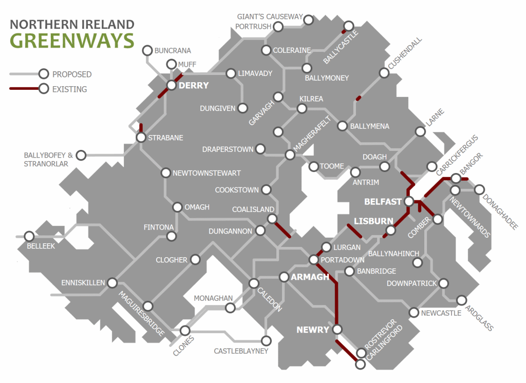
Click on the main project pages below for more information on the area, including resources which can point you in the direction of visiting these pathways.
EXISTING GREENWAYS
Building on the popularity of the historic 15km Lagan Towpath route between Belfast and Lisburn, much-needed upgrades and extra capacity.
BELFAST TO NEWTOWNABBEY GREENWAY
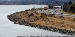
A 9km traffic-free route through the western side of Belfast Harbour and along Belfast Lough shore beside the M2 and M5 motorways to Whiteabbey.
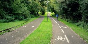
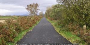
A popular 11km route developed by Sustrans along the old Belfast to Comber railway line opened in 2008 – the original Northern Ireland greenway.
COALISLAND TO MOY AND CHARLEMONT GREENWAY
A 7km pathway along the side of theand Canal
A standard-setting 9km linear urban park in East Belfast developed along the Connswater River incorporating major flood alleviation works.
Ireland’s best dedicated urban active travel network, the Black Paths link the towns of Portadown, Craigavon and Lurgan.
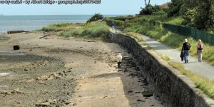
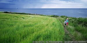
The 16km traffic-free North Down Coastal Path winding through Holywood, Cultra, Helen’s Bay and Crawfordsburn into Bangor.
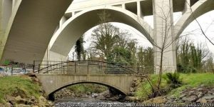
A 6km greenway route from the Belfast Lough Shore under the Bleach Green railway viaducts and into Monkstown and Mossley.
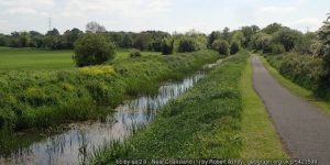
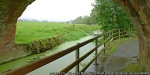
A 29km towpath along the disused Newry Canal from Portadown through Scarva and Poyntzpass into Newry City.
A walkway along the old Strabane Canal from Strabane town up to the River Foyle near Cloughcor.
GREENWAY PROJECTS WITH EXISTING SEGMENTS
BALLYMENA TO CUSHENDALL GREENWAY
The Glens of Antrim Greenway rising from Ballymena over the rugged glens through Glenarriff Forest park towards Cushendall.
An upgrade and extension of a coastal path to link Bangor with Groomsport and Donaghadee past Orlock Point.
A developing system of urban cycleways to link every part of the city and the surrounding greenway route network.
FORTH MEADOW COMMUNITY GREENWAY
A new £5.1m project to connect existing open spaces in north and west Belfast along a 12km route from Clarendon Playing Fields to the new Transport Hub in the city centre.
Following the route of the Lagan Canal out from Lisburn to Lough Neagh and down towards Lurgan to form a 29km greenway.
A 42km route linking the historic port of Newry with the working port at Greenore along Carlingford Lough shore all the way around to Dundalk.
Following the old ‘Derry Road’ line, this potential 60km greenway would run from Omagh through Strabane and along both banks of the Foyle into Derry.
A developing network of traffic-free routes through Derry linking communites with shopping, leisure, employment and transport hubs.

