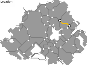
BALLYMENA TO BALLYCLARE GREENWAY
“Slemish Greenway”
A long-abandoned narrow gauge railway wound its way south from Ballymena, with Slemish as its backdrop, into the village of Kells before turning east.
This line could be redeveloped as a new greenway path, following Kells Water and reaching a high point at Ballynashee before a slow 12 mile descent in the busy port town of Larne.
ROUTE DETAILS
| Length | 26 kilometres |
| Estimate | £3.9 million |
| Timescale | 2026 to 2040 |
| Type | Former railway |
| Title | Belfast and Northern Counties Railway (NCC) |
| Border area | No |
| Councils | Mid and East Antrim Borough Council |
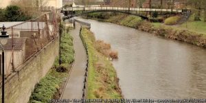
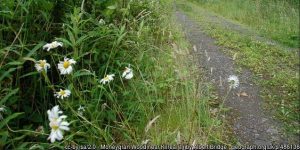
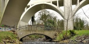
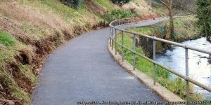
IMAGES


GREENWAY PROJECTS WHICH INTERSECT
A 15km route along the Sixmilewater valley between the town of Doagh and Antrim.

BALLYMENA TO CUSHENDALL GREENWAY
The Glens of Antrim Greenway rising from Ballymena over the rugged glens through Glenarriff Forest park towards Cushendall.
A 20-25km route linking the greenways terminating at Ballymena with the northern portion of the greenway network.
A 6km greenway route from the Belfast Lough Shore under the Bleach Green railway viaducts and into Monkstown and Mossley.
NEWTOWNABBEY TO LARNE GREENWAY
A 26km route from Newtownabbey, linking into the former railhead at Doagh, and on towards the port town of Larne on the Irish Sea coast.
GET INVOLVED
Successful greenway projects are driven by the passion of local people. If you have an update to share, a story to tell about the history of the route or future of the Ballymena to Ballyclare Greenway (Slemish Greenway), or if you want to submit a picture or video to this page, please get in contact.