ANTRIM TO DRAPERSTOWN GREENWAY
“O’Neill’s Greenway”
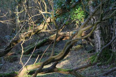
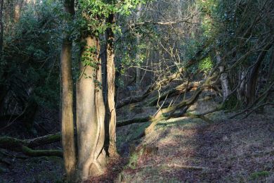
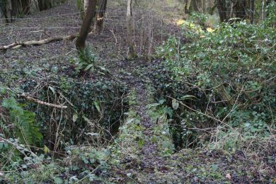
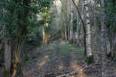
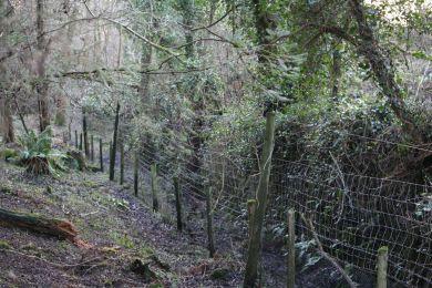
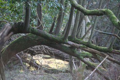
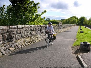
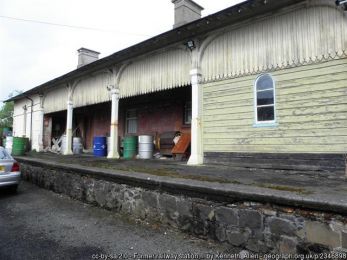
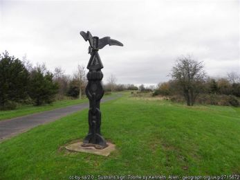
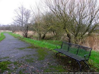
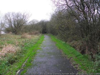
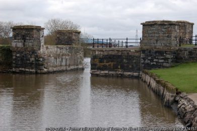
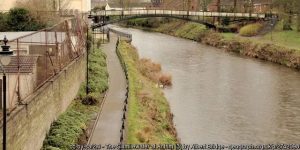
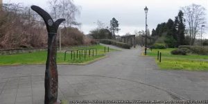
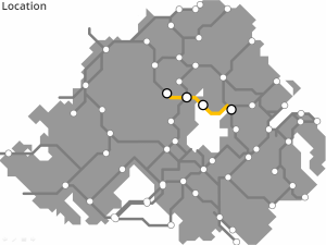
A potential greenway connection out of Antrim through to Randalstown, joining the former railway at the existing viaduct, then along the north shore of Lough Neagh and into Toome.
From here, a river crossing over the Bann, takes the route around to Magherafelt and through Desertmartin into Draperstown.
ROUTE DETAILS
| Length | 45 kilometres |
| Estimate | £6.8 million |
| Timescale | 2026 to 2040 |
| Type | Former railway |
| Title | Belfast and Northern Counties Railway (NCC) |
| Border area | No |
| Councils | Antrim and Newtownabbey Borough Council |
| Mid Ulster District Council |
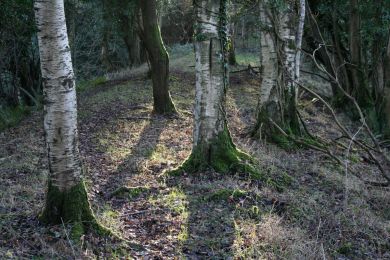
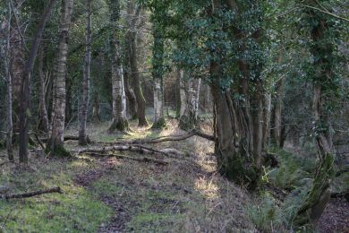
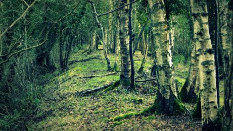
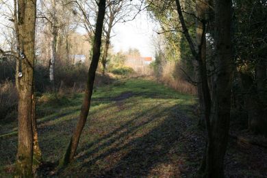
IMAGES
RESOURCES ELSEWHERE
Your Place and Mine – Randalstown Viaduct (BBC NI)
Antrim to Randalstown (Cycle NI)
Shanes Castle Estate (Official site)
Randalstown Footbridge & Cycleway, Co Antrim (Doran Consulting)
Draperstown Railway (Wikipedia)
Draperstown Railway Station (Draperstown History & Heritage)
Exercise Explore Enjoy: A Strategic Plan for Greenways (Department for Infrastructure) PDF 2.8MB
Strategic Plan for Greenways Base Report (AECOM, Sustrans, DfI) PDF 15.7MB
GREENWAY PROJECTS WHICH INTERSECT
A 15km route along the Six Mile Water valley between the towns of Doagh and Antrim.
DUNGANNON TO COLERAINE GREENWAY
A winding 85km former railway route through mid Ulster through Cookstown, Magherfelt, Maghera, Garvagh and Kilrea.
GET INVOLVED
Successful greenway projects are driven by the passion of local people. If you have an update to share, a story to tell about the history of the route or future of the Antrim to Draperstown Greenway, or if you want to submit a picture or video to this page, please get in contact.
